
By Matthew James, VP Business Development – Resources, Pointerra
Across Tier 1 mining operations, the focus of digital transformation is shifting. The priority is no longer simply capturing more spatial data, but making that data easier to access, analyse and apply across mine planning, production, compliance and rehabilitation workflows.
That shift matters because many mining organisations have already invested heavily in LiDAR, UAVs, mobile mapping and photogrammetry. What now defines digital maturity is how quickly those datasets can move from specialist capture and processing environments into trusted operational intelligence for teams working across sites, regions and corporate functions.
At IMARC, Pointerra will showcase how cloud-based mining digital twins are being adopted across surface and underground mine operations. This includes mining-specific tools such as automated change detection, conformance and compliance analytics, volume measurement, asset and infrastructure inspection, rehabilitation monitoring and remote operational reporting. The use cases reflect a practical shift in how miners are applying reality data: from periodic technical review to repeatable workflows that support day-to-day planning, production, safety, environmental performance and governance.
Why Tier 1 miners are rethinking reality data workflows
From exploration and mine development through to production and rehabilitation, large mining organisations routinely collect terabytes of spatial data. Reality capture has become a core operating capability, giving teams more accurate and current representations of mines, infrastructure and surrounding environments.
However, more data does not automatically translate into better decisions.
In many operations, however, the systems around that data have not evolved at the same pace. Survey data, engineering models and operational datasets often remain distributed across desktop applications, site-based infrastructure and department-specific workflows. The consequence is not just inefficiency; it is reduced confidence in whether teams are working from the same current view of the asset.
For operators managing complex, distributed portfolios, the opportunity is to treat reality data as a long-term operational asset rather than a static project deliverable.
Solving the data fragmentation problem across multi-site operations
As mining operations become larger, more complex and increasingly distributed, fragmented data creates challenges that extend well beyond productivity.
Engineering teams require confidence that mine development aligns with design intent. Surveyors need efficient ways to validate changing conditions. Environmental teams must demonstrate compliance and monitor rehabilitation activities, while executives need timely visibility across multiple operations to support strategic decision-making.
When information is fragmented between teams and software platforms, organisations spend valuable time searching for data, validating versions and manually preparing reports instead of acting on the insights the data provides.
Addressing this challenge is becoming increasingly important as mining companies pursue greater operational resilience, strengthen ESG performance and seek sustainable growth without proportionally increasing operational complexity.
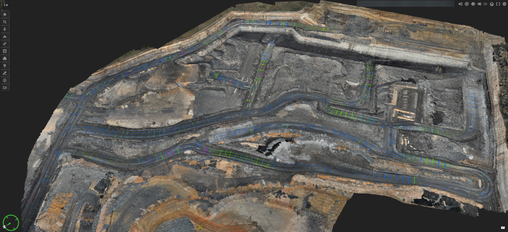
From reality capture to reliable digital twins in the cloud
Cloud-native digital twins are helping reshape how mining organisations use spatial information by removing many of the barriers traditionally associated with large-scale 3D datasets.
Rather than relying on specialist hardware and desktop software, surveyors, engineers, environmental specialists and operational leaders can securely access the same high-fidelity digital environment through a standard web browser. This allows reality data to become a shared operational resource rather than remaining isolated within individual departments.
Pointerra’s work with Tier 1 mining companies reflects this broader industry transition. Using functional living cloud-deployed digital twins, miners are now able to connect reality capture with everyday operational workflows across both surface and underground environments.
In practice, this means applying spatial analytics to questions that matter on site: whether development is conforming to design, how volumes are changing, where underground roadways require attention, and how compliance evidence can be produced with less manual effort. The value lies less in visualisation alone and more in shortening the path from captured data to operational decision.
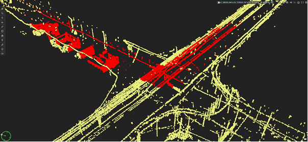
Supporting Productivity, ESG and Operational Resilience
For IMARC delegates focused on execution, the value of connected reality data extends beyond operational efficiency.
Remote access to accurate digital environments reduces unnecessary site visits and limits personnel exposure in higher-risk areas. Automated reporting and traceable datasets strengthen governance by providing auditable records that support regulatory compliance, environmental monitoring and rehabilitation programs. Faster access to trusted information also enables mining organisations to respond more effectively to operational change while improving collaboration between sites, contractors and corporate teams.
Because cloud-native delivery can be applied consistently across multiple operations, these capabilities can scale without adding the same level of infrastructure and workflow complexity that has traditionally accompanied enterprise spatial data management.
What this signals for the next generation of digital mining
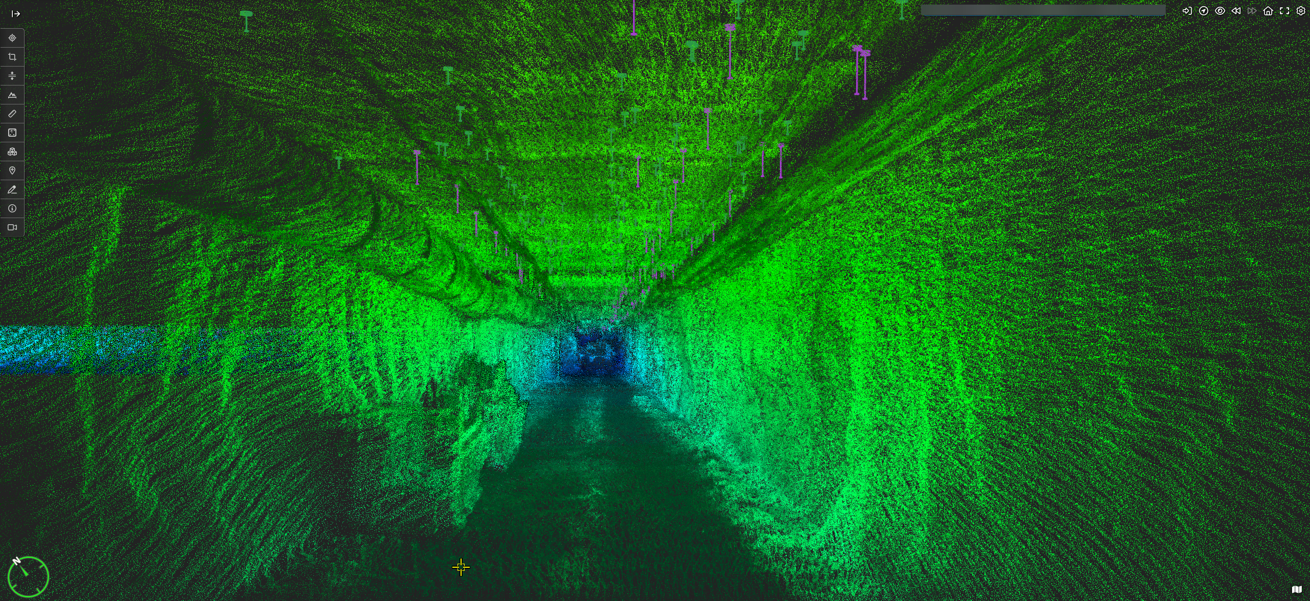
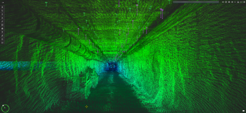
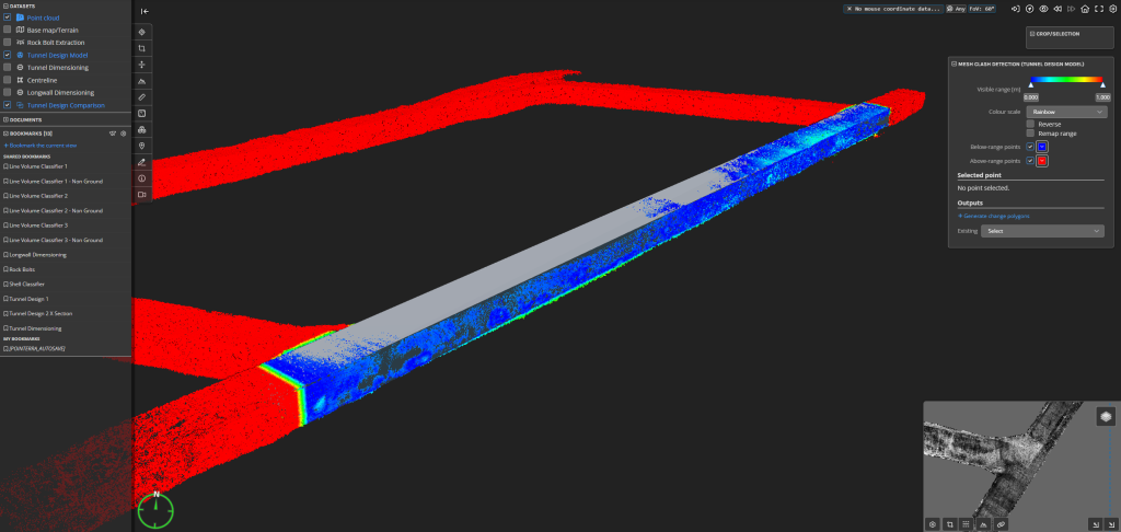
At one Tier 1 underground mining operation in Australia, compliance reporting for roadway development and roof bolt installations had relied on labour-intensive manual processes. By introducing automated spatial analytics within a cloud-based digital environment, the operation reduced the time required to assess compliance while enabling more work to be completed remotely. The outcome was faster reporting, improved visibility of underground conditions and reduced personnel exposure.
The example illustrates a wider pattern. Competitive advantage in digital mining is increasingly defined not by who captures the largest volume of data, but by who can convert trusted reality data into repeatable operational insight.
As mining leaders gather at IMARC to discuss how strategy translates into execution, the role of reality data is becoming more practical and more consequential. To see how Pointerra is helping mining organisations turn spatial data into operational intelligence, visit Pointerra at booth E33 at IMARC. Or reach out to the Pointerra team to discuss your specific use case or get in touch to arrange a demo of the platform in action.
About the author
Matthew James is VP Business Development – Resources at Pointerra. He works with mining companies across Australia and internationally to implement cloud-native spatial data and digital twin strategies that improve productivity, collaboration and operational decision-making.